Picked up prescription at Walmart
I made it into Rock Springs and located the Walmart via my GPS where I picked up my prescription. I also want to get my RV serviced as well, but the place was closed. I didn’t want to spend the night in the Walmart parking lot as there were many big trucks and RV’s already parked there.
I checked my GPS and found a BLM area about 15 miles west of town. I recently downloaded the complete list of campgrounds located throughout the US. You can purchase and download the complete list for only $6.95 at Ultimate campgrounds. I downloaded it and added it to my POI’s in my GPS. Now it will show me everything in a given area.
It sure comes in handy while you are driving and need to know where a nearby campground is located and how to get to it. I have also added the rest stops, Walmarts, and Diners and Drive-ins to my GPS as well. I would highly recommend doing this as it makes it very convenient.
Anyway I decided to camp in the White Mountain BLM area so followed I80 west a few miles then took 53 north. You are soon on a good gravel road that continues up and up. I finally reached a plateau where I was nice and level so made it my home.

The next morning I got up and took a hike around the area. I didn’t realize how high I had climbed but this next pic shows the railroad and I80 in the distance. You can’t even see the cars.

The next pic was taken with my telephoto lens.

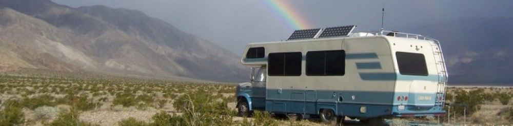
Here are a couple of pics showing the surrounding scenery.


Wild Horses
There are wild horses in the area and I was lucky to get these shots of them. Most were taken with my telephoto lens.


Fantastic clouds and sunsets
In the afternoon the huge clouds would roll in. A couple times I got big raindrops but never any measurable rain.


The sunsets were also spectacular.

I spent five days up here on the White Mountain BLM area and would have stayed longer had it not been for my running low on water and the grey tank almost full.
I saw many cars pass through and some even stopped near where I was parked to take pics of the scenery. One family even had a flat tire on the road right in front of me and I helped them change the tire. They were from Luxemburg, Germany and had already been through Yellowstone and the Tetons.
I will be leaving here to head back to Rock Springs to get my RV serviced and then head on over to Saratoga, WY where I have my mail being sent.

We’ll have to remember that one. Looks like a great place to camp. Love those expansive views.
Wow, what an adventure you’re on. Great pictures, beautiful vistas… What kind of a GPS system do you have. Does it give you bridge heights? Inquiring minds want to know…
You’ve outdone yourself Jim. Those photos of the scenery and horses were spectacular. Enjoy.
Jim, If I may ask-How did you download this to your GPS???
Man, those are some wide open spaces. And, finding wild horses in their natural setting is awesome. Must be exciting to experience those things first hand.
I really enjoy you Blog!! For a while I couldn’t find 180 west out of Rock Springs, WY. But, then I figured it out! I-80!! LOL How about posting some GPS coordinates of where you stop, especially on BLM land? HAPPY TRAILS!!!!
Hi Jimbo, Good pics as always. Like the commentary…HoboJoe